
Thank you for supporting this site ❤️
Make a donation
Make a donation
Karimabad topographic map
Click on the map to display elevation.
Thank you for supporting this site ❤️
Make a donation
Make a donation
About this map
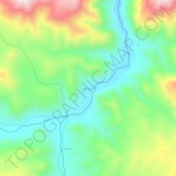
Name: Karimabad topographic map, elevation, terrain.
Average elevation: 1,645 m
Minimum elevation: 1,452 m
Maximum elevation: 2,006 m
Thank you for supporting this site ❤️
Make a donation
Make a donation
Other topographic maps
Click on a map to view its topography, its elevation and its terrain.
دهستان نازلوشمالی
Iran > West Azerbaijan Province > Urumia County > دهستان نازلوشمالی
Average elevation: 1,432 m