
Thank you for supporting this site ❤️
Make a donation
Make a donation
Trail Peak topographic map
Click on the map to display elevation.
Thank you for supporting this site ❤️
Make a donation
Make a donation
About this map
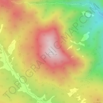
Name: Trail Peak topographic map, elevation, terrain.
Location: Trail Peak, Colfax County, New Mexico, United States (36.40734 -105.06729 36.40744 -105.06719)
Average elevation: 2,802 m
Minimum elevation: 2,457 m
Maximum elevation: 3,101 m
Thank you for supporting this site ❤️
Make a donation
Make a donation
Other topographic maps
Click on a map to view its topography, its elevation and its terrain.