
Thank you for supporting this site ❤️
Make a donation
Make a donation
Electra topographic map
Click on the map to display elevation.
Thank you for supporting this site ❤️
Make a donation
Make a donation
About this map
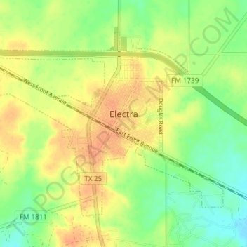
Name: Electra topographic map, elevation, terrain.
Location: Electra, Wichita County, Texas, United States (34.01128 -98.95287 34.04895 -98.89177)
Average elevation: 362 m
Minimum elevation: 343 m
Maximum elevation: 379 m
Thank you for supporting this site ❤️
Make a donation
Make a donation