
Thank you for supporting this site ❤️
Make a donation
Make a donation
Anjora topographic map
Click on the map to display elevation.
Thank you for supporting this site ❤️
Make a donation
Make a donation
About this map
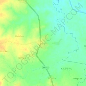
Name: Anjora topographic map, elevation, terrain.
Location: Anjora, Amgaon Taluka, Gondiya District, Maharashtra, India (21.27757 80.38570 21.31757 80.42570)
Average elevation: 314 m
Minimum elevation: 301 m
Maximum elevation: 328 m
Thank you for supporting this site ❤️
Make a donation
Make a donation
Other topographic maps
Click on a map to view its topography, its elevation and its terrain.