
Thank you for supporting this site ❤️
Make a donation
Make a donation
Radio Springs topographic map
Click on the map to display elevation.
Thank you for supporting this site ❤️
Make a donation
Make a donation
About this map
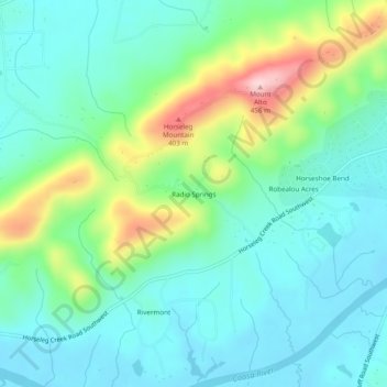
Name: Radio Springs topographic map, elevation, terrain.
Location: Radio Springs, Floyd County, Georgia, United States (34.20204 -85.26273 34.24204 -85.22273)
Average elevation: 243 m
Minimum elevation: 174 m
Maximum elevation: 442 m
Thank you for supporting this site ❤️
Make a donation
Make a donation
Other topographic maps
Click on a map to view its topography, its elevation and its terrain.