
Thank you for supporting this site ❤️
Make a donation
Make a donation
Williams Township topographic map
Click on the map to display elevation.
Thank you for supporting this site ❤️
Make a donation
Make a donation
About this map
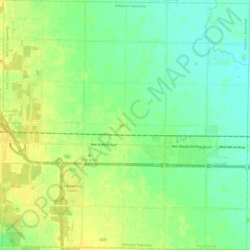
Name: Williams Township topographic map, elevation, terrain.
Location: Williams Township, Bay County, Michigan, United States (43.56731 -84.16812 43.65448 -84.04866)
Average elevation: 193 m
Minimum elevation: 182 m
Maximum elevation: 203 m
Thank you for supporting this site ❤️
Make a donation
Make a donation