
Thank you for supporting this site ❤️
Make a donation
Make a donation
Anting topographic map
Click on the map to display elevation.
Thank you for supporting this site ❤️
Make a donation
Make a donation
About this map
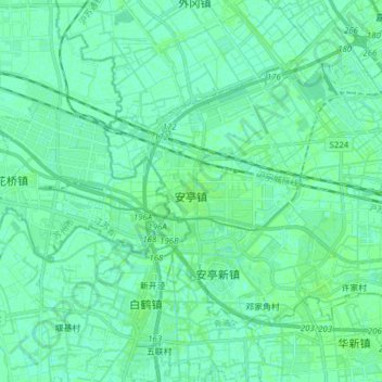
Name: Anting topographic map, elevation, terrain.
Location: Anting, Jiading District, Shanghai, China (31.25325 121.12195 31.34649 121.27620)
Average elevation: 4 m
Minimum elevation: 1 m
Maximum elevation: 6 m
Thank you for supporting this site ❤️
Make a donation
Make a donation
Other topographic maps
Click on a map to view its topography, its elevation and its terrain.