
Thank you for supporting this site ❤️
Make a donation
Make a donation
Miandrivazo topographic map
Click on the map to display elevation.
Thank you for supporting this site ❤️
Make a donation
Make a donation
About this map
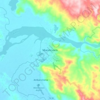
Name: Miandrivazo topographic map, elevation, terrain.
Location: Miandrivazo, Menabe, Province de Tuléar, Madagascar (-19.57124 45.41877 -19.49124 45.49877)
Average elevation: 130 m
Minimum elevation: 58 m
Maximum elevation: 353 m
Thank you for supporting this site ❤️
Make a donation
Make a donation