
Boone Island (historical) topographic map
Interactive map
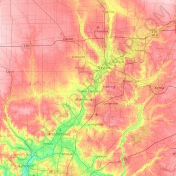
Click on the map to display elevation.
About this map
Name: Boone Island (historical) topographic map, elevation, terrain.
Average elevation: 276 m
Minimum elevation: 168 m
Maximum elevation: 354 m