
Thank you for supporting this site ❤️
Make a donation
Make a donation
Geithe topographic map
Click on the map to display elevation.
Thank you for supporting this site ❤️
Make a donation
Make a donation
About this map
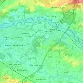
Name: Geithe topographic map, elevation, terrain.
Location: Geithe, Welver, Kreis Soest, North Rhine-Westphalia, Germany (51.67240 7.84468 51.68569 7.99581)
Average elevation: 72 m
Minimum elevation: 54 m
Maximum elevation: 129 m
Thank you for supporting this site ❤️
Make a donation
Make a donation