
Thank you for supporting this site ❤️
Make a donation
Make a donation
Namoly Mahavelo topographic map
Click on the map to display elevation.
Thank you for supporting this site ❤️
Make a donation
Make a donation
About this map
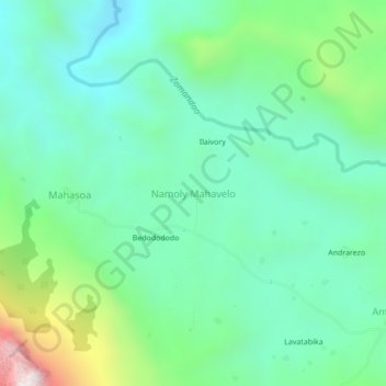
Name: Namoly Mahavelo topographic map, elevation, terrain.
Average elevation: 1,485 m
Minimum elevation: 1,218 m
Maximum elevation: 2,262 m
Thank you for supporting this site ❤️
Make a donation
Make a donation
Other topographic maps
Click on a map to view its topography, its elevation and its terrain.
Fianarantsoa
Madagascar > Haute Matsiatra > District de Fianarantsoa
Fianarantsoa a un climat tropical d'altitude, caractérisé par deux saisons: la saison chaude et humide et la saison fraîche et sèche. La température moyenne annuelle est de 18,9 °C et les précipitations annuelles sont de 1 097 mm.
Average elevation: 1,172 m