
Thank you for supporting this site ❤️
Make a donation
Make a donation
Royal topographic map
Click on the map to display elevation.
Thank you for supporting this site ❤️
Make a donation
Make a donation
About this map
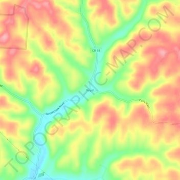
Name: Royal topographic map, elevation, terrain.
Location: Royal, Vinton County, Ohio, United States (39.28590 -82.59294 39.32590 -82.55294)
Average elevation: 273 m
Minimum elevation: 209 m
Maximum elevation: 324 m
Thank you for supporting this site ❤️
Make a donation
Make a donation
Other topographic maps
Click on a map to view its topography, its elevation and its terrain.