
Thank you for supporting this site ❤️
Make a donation
Make a donation
Kuala Langat topographic map
Click on the map to display elevation.
Thank you for supporting this site ❤️
Make a donation
Make a donation
About this map
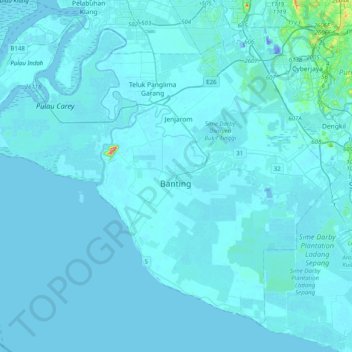
Name: Kuala Langat topographic map, elevation, terrain.
Location: Kuala Langat, Selangor, Malaysia (2.64246 101.28363 2.97967 101.68339)
Average elevation: 6 m
Minimum elevation: -28 m
Maximum elevation: 228 m
Thank you for supporting this site ❤️
Make a donation
Make a donation
Other topographic maps
Click on a map to view its topography, its elevation and its terrain.
Kampung Nelayan Sungai Haji Durani
Malaysia > Selangor > Kampung Sg Hj Dorani > Kampung Nelayan Sungai Haji Durani
Average elevation: 3 m