
Thank you for supporting this site ❤️
Make a donation
Make a donation
West Little River topographic map
Click on the map to display elevation.
Thank you for supporting this site ❤️
Make a donation
Make a donation
About this map
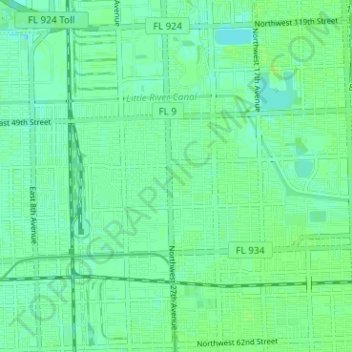
Name: West Little River topographic map, elevation, terrain.
Location: West Little River, Miami-Dade County, Florida, United States (25.84552 -80.26009 25.87158 -80.19683)
Average elevation: 7 m
Minimum elevation: 2 m
Maximum elevation: 12 m
Thank you for supporting this site ❤️
Make a donation
Make a donation