
Sarral topographic map
Interactive map
Click on the map to display elevation.
About this map
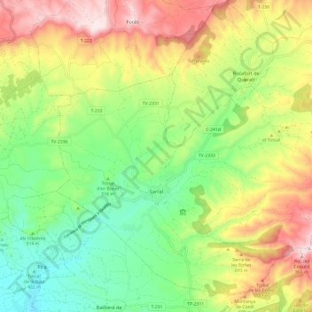
Name: Sarral topographic map, elevation, terrain.
Location: Sarral, Cuenca de Barberá, Tarragona, Cataluña, 43424, España (41.41559 1.20839 41.49549 1.32788)
Average elevation: 572 m
Minimum elevation: 357 m
Maximum elevation: 871 m