
Thank you for supporting this site ❤️
Make a donation
Make a donation
Ortatepe topographic map
Click on the map to display elevation.
Thank you for supporting this site ❤️
Make a donation
Make a donation
About this map
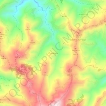
Name: Ortatepe topographic map, elevation, terrain.
Location: Ortatepe, Perşembe, Ordu, Black Sea Region, Turkey (41.03658 37.67484 41.07658 37.71484)
Average elevation: 382 m
Minimum elevation: 107 m
Maximum elevation: 653 m
Thank you for supporting this site ❤️
Make a donation
Make a donation