
Thank you for supporting this site ❤️
Make a donation
Make a donation
Bukit Sungkai topographic map
Click on the map to display elevation.
Thank you for supporting this site ❤️
Make a donation
Make a donation
About this map
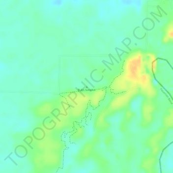
Name: Bukit Sungkai topographic map, elevation, terrain.
Location: Bukit Sungkai, West Pasaman, West Sumatra, Sumatra, Indonesia (-0.11979 99.99170 -0.11969 99.99180)
Average elevation: 26 m
Minimum elevation: 13 m
Maximum elevation: 45 m
Thank you for supporting this site ❤️
Make a donation
Make a donation
Other topographic maps
Click on a map to view its topography, its elevation and its terrain.