
Tokyo topographic map
Interactive map
Click on the map to display elevation.
Tokyo
The mainland portion of Tokyo lies northwest of Tokyo Bay and measures about 90 km (56 mi) east to west and 25 km (16 mi) north to south. The average elevation in Tokyo is 40 m (131 ft). Chiba Prefecture borders it to the east, Yamanashi to the west, Kanagawa to the south, and Saitama to the north. Mainland Tokyo is further subdivided into the special wards (occupying the eastern half) and the Tama area (多摩地域) stretching westwards. Tokyo has a latitude of 35.65 (near the 36th parallel north), which makes it more southern than Rome (41.90), Madrid (40.41) and New York City (40.71).
About this map
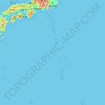
Name: Tokyo topographic map, elevation, terrain.
Location: Tokyo, Japan (20.21458 135.85369 35.89842 154.20554)
Average elevation: 22 m
Minimum elevation: -3 m
Maximum elevation: 3,459 m