
东山镇 topographic map
Interactive map
Click on the map to display elevation.
About this map
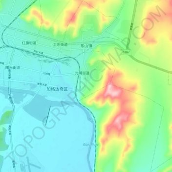
Name: 东山镇 topographic map, elevation, terrain.
Location: 东山镇, 加格达奇区, 大兴安岭地区, 黑龙江省, 165000, 中国 (50.37581 124.13200 50.43747 124.22483)
Average elevation: 419 m
Minimum elevation: 364 m
Maximum elevation: 569 m