
Thank you for supporting this site ❤️
Make a donation
Make a donation
Carp Lake Township topographic map
Click on the map to display elevation.
Thank you for supporting this site ❤️
Make a donation
Make a donation
About this map
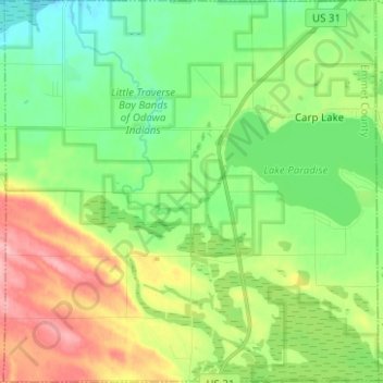
Name: Carp Lake Township topographic map, elevation, terrain.
Location: Carp Lake Township, Emmet County, Michigan, United States (45.63672 -84.85318 45.72386 -84.73076)
Average elevation: 226 m
Minimum elevation: 184 m
Maximum elevation: 300 m
Thank you for supporting this site ❤️
Make a donation
Make a donation
Other topographic maps
Click on a map to view its topography, its elevation and its terrain.