
Thank you for supporting this site ❤️
Make a donation
Make a donation
El Villal topographic map
Click on the map to display elevation.
Thank you for supporting this site ❤️
Make a donation
Make a donation
About this map
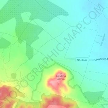
Name: El Villal topographic map, elevation, terrain.
Location: El Villal, Ablitas, Ribera, Navarra, 31523, España (41.96953 -1.62242 41.98953 -1.60242)
Average elevation: 349 m
Minimum elevation: 316 m
Maximum elevation: 427 m
Thank you for supporting this site ❤️
Make a donation
Make a donation