
Thank you for supporting this site ❤️
Make a donation
Make a donation
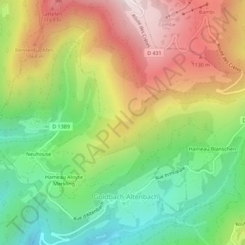
Vosges topographic map
Click on the map to display elevation.
Thank you for supporting this site ❤️
Make a donation
Make a donation
Vosges
Les Vosges sont un massif de moyennes montagnes du Nord-Est de la France qui sépare le plateau lorrain de la plaine d'Alsace. D'origine varisque et majoritairement constituées de grès et de granite, elles atteignent des altitudes modestes culminant à 1 424 mètres au Grand Ballon.
Thank you for supporting this site ❤️
Make a donation
Make a donation
About this map
Name: Vosges topographic map, elevation, terrain.
Average elevation: 864 m
Minimum elevation: 537 m
Maximum elevation: 1,259 m
Thank you for supporting this site ❤️
Make a donation
Make a donation