
Thank you for supporting this site ❤️
Make a donation
Make a donation
Cibiru Hilir topographic map
Click on the map to display elevation.
Thank you for supporting this site ❤️
Make a donation
Make a donation
About this map
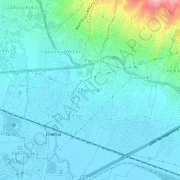
Name: Cibiru Hilir topographic map, elevation, terrain.
Location: Cibiru Hilir, Bandung, West Java, Java, 40626, Indonesia (-6.97979 107.69746 -6.93979 107.73746)
Average elevation: 664 m
Minimum elevation: 661 m
Maximum elevation: 684 m
Thank you for supporting this site ❤️
Make a donation
Make a donation