
Thank you for supporting this site ❤️
Make a donation
Make a donation
Annaburg topographic map
Click on the map to display elevation.
Thank you for supporting this site ❤️
Make a donation
Make a donation
About this map
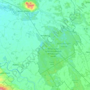
Name: Annaburg topographic map, elevation, terrain.
Location: Annaburg, Wittenberg, Saxony-Anhalt, 06925, Germany (51.63742 12.82965 51.78103 13.18688)
Average elevation: 80 m
Minimum elevation: 70 m
Maximum elevation: 139 m
Thank you for supporting this site ❤️
Make a donation
Make a donation