
Thank you for supporting this site ❤️
Make a donation
Make a donation
Thorndale topographic map
Click on the map to display elevation.
Thank you for supporting this site ❤️
Make a donation
Make a donation
About this map
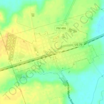
Name: Thorndale topographic map, elevation, terrain.
Location: Thorndale, Milam County, Texas, United States (30.60583 -97.22008 30.62190 -97.19247)
Average elevation: 135 m
Minimum elevation: 119 m
Maximum elevation: 146 m
Thank you for supporting this site ❤️
Make a donation
Make a donation