
Thank you for supporting this site ❤️
Make a donation
Make a donation
Mount Ida topographic map
Click on the map to display elevation.
Thank you for supporting this site ❤️
Make a donation
Make a donation
About this map
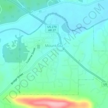
Name: Mount Ida topographic map, elevation, terrain.
Location: Mount Ida, Montgomery County, Arkansas, United States (34.54210 -93.64326 34.56251 -93.61410)
Average elevation: 215 m
Minimum elevation: 184 m
Maximum elevation: 337 m
Thank you for supporting this site ❤️
Make a donation
Make a donation
Other topographic maps
Click on a map to view its topography, its elevation and its terrain.