
Chassepierre topographic map
Interactive map
Click on the map to display elevation.
About this map
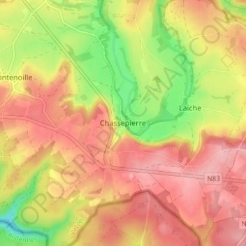
Name: Chassepierre topographic map, elevation, terrain.
Location: Chassepierre, Virton, Luxemburg, Wallonië, 6824, België (49.68769 5.24218 49.72769 5.28218)
Average elevation: 320 m
Minimum elevation: 243 m
Maximum elevation: 371 m