
Thank you for supporting this site ❤️
Make a donation
Make a donation
Muncie topographic map
Click on the map to display elevation.
Thank you for supporting this site ❤️
Make a donation
Make a donation
About this map
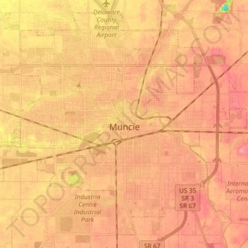
Name: Muncie topographic map, elevation, terrain.
Location: Muncie, Delaware County, Indiana, United States (40.14910 -85.47102 40.24076 -85.32074)
Average elevation: 291 m
Minimum elevation: 237 m
Maximum elevation: 313 m
Thank you for supporting this site ❤️
Make a donation
Make a donation