
Juns topographic map
Click on the map to display elevation.
About this map
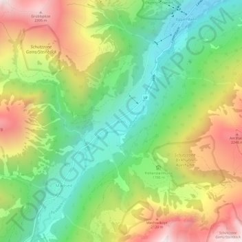
Name: Juns topographic map, elevation, terrain.
Location: Juns, Gemeinde Tux, Bezirk Schwaz, Tyrol, 6192, Austria (47.11941 11.69275 47.15941 11.73275)
Average elevation: 1,752 m
Minimum elevation: 1,257 m
Maximum elevation: 2,454 m