
Gemeinde Tux topographic map
Click on the map to display elevation.
About this map
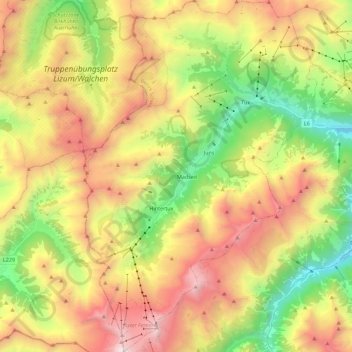
Name: Gemeinde Tux topographic map, elevation, terrain.
Location: Gemeinde Tux, Bezirk Schwaz, Tyrol, Austria (47.05290 11.63271 47.20501 11.78163)
Average elevation: 2,110 m
Minimum elevation: 1,002 m
Maximum elevation: 3,445 m
Other topographic maps
Click on a map to view its topography, its elevation and its terrain.