
米林镇 topographic map
Interactive map
Click on the map to display elevation.
About this map
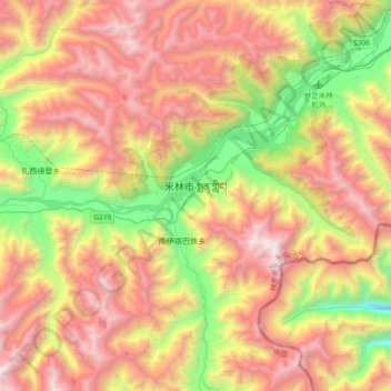
Name: 米林镇 topographic map, elevation, terrain.
Location: 米林镇, 米林市, 林芝市, 西藏自治区, 860501, 中国 (29.09794 94.08075 29.31798 94.45686)
Average elevation: 3,843 m
Minimum elevation: 2,500 m
Maximum elevation: 5,263 m
Other topographic maps
Click on a map to view its topography, its elevation and its terrain.