
Rooierheide topographic map
Interactive map
Click on the map to display elevation.
About this map
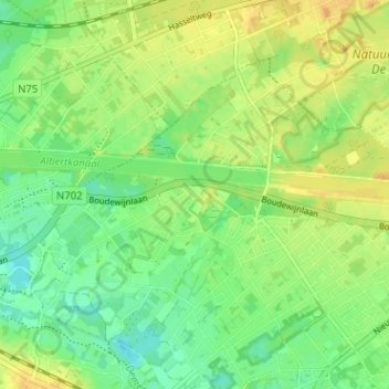
Name: Rooierheide topographic map, elevation, terrain.
Location: Rooierheide, Diepenbeek, Hasselt, Limburg, 3590, België (50.91663 5.39885 50.95663 5.43885)
Average elevation: 40 m
Minimum elevation: 26 m
Maximum elevation: 54 m