
Thank you for supporting this site ❤️
Make a donation
Make a donation
Longgar topographic map
Click on the map to display elevation.
Thank you for supporting this site ❤️
Make a donation
Make a donation
About this map
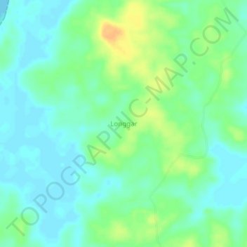
Name: Longgar topographic map, elevation, terrain.
Location: Longgar, Aru Islands, Maluku, Indonesia (-6.72654 134.65904 -6.68654 134.69904)
Average elevation: 11 m
Minimum elevation: 0 m
Maximum elevation: 30 m
Thank you for supporting this site ❤️
Make a donation
Make a donation
Other topographic maps
Click on a map to view its topography, its elevation and its terrain.