
杨桥畔镇 topographic map
Interactive map
Click on the map to display elevation.
About this map
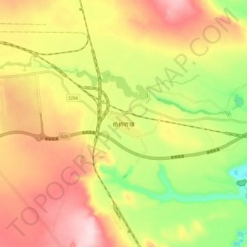
Name: 杨桥畔镇 topographic map, elevation, terrain.
Location: 杨桥畔镇, 榆林市, 陕西省, 中国 (37.57244 108.99079 37.65244 109.07079)
Average elevation: 1,303 m
Minimum elevation: 1,157 m
Maximum elevation: 1,431 m
Other topographic maps
Click on a map to view its topography, its elevation and its terrain.