
Kasha topographic map
Click on the map to display elevation.
About this map
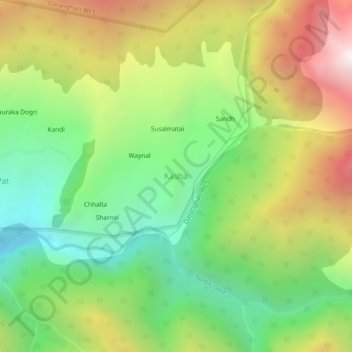
Name: Kasha topographic map, elevation, terrain.
Location: Kasha, Rampur, Shimla, Himachal Pradesh, India (31.38864 77.81565 31.42864 77.85565)
Average elevation: 2,743 m
Minimum elevation: 1,963 m
Maximum elevation: 3,838 m
Other topographic maps
Click on a map to view its topography, its elevation and its terrain.