
Edgemont topographic map
Click on the map to display elevation.
About this map
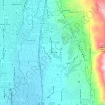
Name: Edgemont topographic map, elevation, terrain.
Location: Edgemont, Provo, Utah County, Utah, 84602, United States (40.26607 -111.67187 40.30607 -111.63187)
Average elevation: 1,538 m
Minimum elevation: 1,414 m
Maximum elevation: 2,065 m