
Thank you for supporting this site ❤️
Make a donation
Make a donation
Luebbering topographic map
Click on the map to display elevation.
Thank you for supporting this site ❤️
Make a donation
Make a donation
About this map
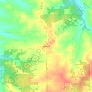
Name: Luebbering topographic map, elevation, terrain.
Location: Luebbering, Franklin County, Missouri, 63061, United States (38.25033 -90.83930 38.29033 -90.79930)
Average elevation: 219 m
Minimum elevation: 183 m
Maximum elevation: 254 m
Thank you for supporting this site ❤️
Make a donation
Make a donation
Other topographic maps
Click on a map to view its topography, its elevation and its terrain.