
Thank you for supporting this site ❤️
Make a donation
Make a donation
Al Ugheibish topographic map
Click on the map to display elevation.
Thank you for supporting this site ❤️
Make a donation
Make a donation
About this map
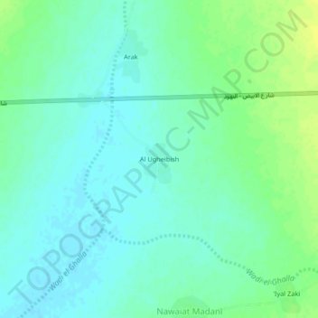
Name: Al Ugheibish topographic map, elevation, terrain.
Location: Al Ugheibish, En Nuhud, West Kordufan, Sudan (13.08126 29.38809 13.12126 29.42809)
Average elevation: 624 m
Minimum elevation: 617 m
Maximum elevation: 634 m
Thank you for supporting this site ❤️
Make a donation
Make a donation