
Thank you for supporting this site ❤️
Make a donation
Make a donation
Kakworo topographic map
Click on the map to display elevation.
Thank you for supporting this site ❤️
Make a donation
Make a donation
About this map
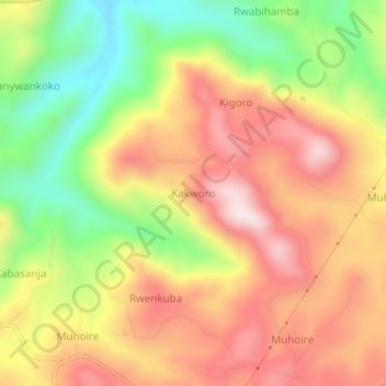
Name: Kakworo topographic map, elevation, terrain.
Location: Kakworo, Kabarole, Western Region, Uganda (0.74483 30.34198 0.78483 30.38198)
Average elevation: 1,462 m
Minimum elevation: 1,206 m
Maximum elevation: 1,683 m
Thank you for supporting this site ❤️
Make a donation
Make a donation