
Thank you for supporting this site ❤️
Make a donation
Make a donation
Grove Hill topographic map
Click on the map to display elevation.
Thank you for supporting this site ❤️
Make a donation
Make a donation
About this map
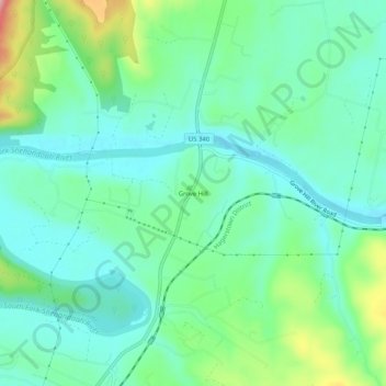
Name: Grove Hill topographic map, elevation, terrain.
Location: Grove Hill, Page County, Virginia, 22849, United States (38.50873 -78.63224 38.54873 -78.59224)
Average elevation: 293 m
Minimum elevation: 250 m
Maximum elevation: 413 m
Thank you for supporting this site ❤️
Make a donation
Make a donation
Other topographic maps
Click on a map to view its topography, its elevation and its terrain.