
Gaylord topographic map
Click on the map to display elevation.
Gaylord
Gaylord sees significant snowfall during winter due to its elevation and its location in the path of lake-effect snow produced by Lake Michigan. Combined with local terrain and topography, many winter recreation opportunities abound.
About this map
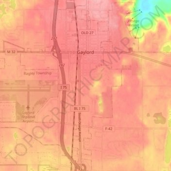
Name: Gaylord topographic map, elevation, terrain.
Location: Gaylord, Otsego County, Michigan, United States (44.98712 -84.72699 45.04505 -84.64933)
Average elevation: 401 m
Minimum elevation: 323 m
Maximum elevation: 424 m
Other topographic maps
Click on a map to view its topography, its elevation and its terrain.