
Thank you for supporting this site ❤️
Make a donation
Make a donation
Langenhoe topographic map
Click on the map to display elevation.
Thank you for supporting this site ❤️
Make a donation
Make a donation
About this map
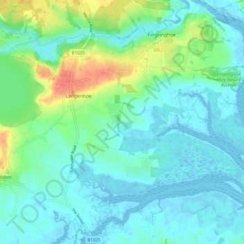
Name: Langenhoe topographic map, elevation, terrain.
Location: Langenhoe, Colchester, Essex, England, United Kingdom (51.80414 0.91053 51.84604 1.00386)
Average elevation: 11 m
Minimum elevation: -2 m
Maximum elevation: 45 m
Thank you for supporting this site ❤️
Make a donation
Make a donation