
山西 topographic map
Interactive map
Click on the map to display elevation.
About this map
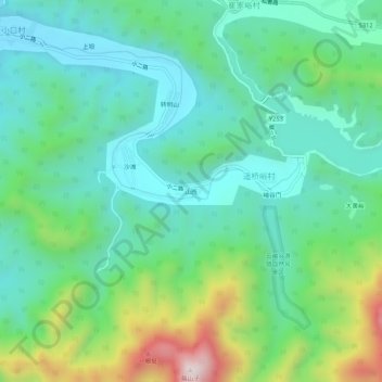
Name: 山西 topographic map, elevation, terrain.
Location: 山西, 新城子镇, 密云区, 北京市, 中国 (40.61129 117.34474 40.65129 117.38474)
Average elevation: 561 m
Minimum elevation: 372 m
Maximum elevation: 1,085 m