
Sint-Job-in-'t-Goor topographic map
Interactive map
Click on the map to display elevation.
About this map
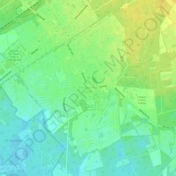
Name: Sint-Job-in-'t-Goor topographic map, elevation, terrain.
Location: Sint-Job-in-'t-Goor, Brecht, Antwerpen, Vlaanderen, België (51.27563 4.54107 51.30891 4.60140)
Average elevation: 18 m
Minimum elevation: 7 m
Maximum elevation: 29 m
Een oude overgang van het Kanaal Dessel-Turnhout-Schoten ter hoogte van Sas 5 werd opnieuw opengesteld op 28 april 1976.
Other topographic maps
Click on a map to view its topography, its elevation and its terrain.
Sint-Lenaarts
België > Antwerpen > Antwerpen > Brecht
Sint-Lenaarts, Brecht, Antwerpen, Vlaanderen, België
Average elevation: 24 m