
Thank you for supporting this site ❤️
Make a donation
Make a donation
Veldegem topographic map
Click on the map to display elevation.
Thank you for supporting this site ❤️
Make a donation
Make a donation
About this map
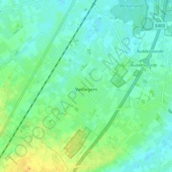
Name: Veldegem topographic map, elevation, terrain.
Location: Veldegem, Zedelgem, Brugge, West Flanders, Flanders, Belgium (51.08389 3.12576 51.12747 3.18139)
Average elevation: 18 m
Minimum elevation: 10 m
Maximum elevation: 34 m
Thank you for supporting this site ❤️
Make a donation
Make a donation
Other topographic maps
Click on a map to view its topography, its elevation and its terrain.