
Thank you for supporting this site ❤️
Make a donation
Make a donation
Morang topographic map
Click on the map to display elevation.
Thank you for supporting this site ❤️
Make a donation
Make a donation
About this map
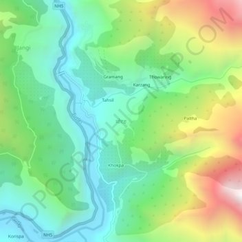
Name: Morang topographic map, elevation, terrain.
Location: Morang, Moorang, Kinnaur, Himachal Pradesh, 172109, India (31.57805 78.42788 31.61805 78.46788)
Average elevation: 2,755 m
Minimum elevation: 2,224 m
Maximum elevation: 3,834 m
Thank you for supporting this site ❤️
Make a donation
Make a donation
Other topographic maps
Click on a map to view its topography, its elevation and its terrain.