
Thank you for supporting this site ❤️
Make a donation
Make a donation
Coll d'Arboç topographic map
Click on the map to display elevation.
Thank you for supporting this site ❤️
Make a donation
Make a donation
About this map
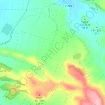
Name: Coll d'Arboç topographic map, elevation, terrain.
Location: Coll d'Arboç, Maldà, Urgel, Cataluña, 25266, España (41.52694 1.01783 41.54694 1.03783)
Average elevation: 439 m
Minimum elevation: 378 m
Maximum elevation: 550 m
Thank you for supporting this site ❤️
Make a donation
Make a donation