
Thank you for supporting this site ❤️
Make a donation
Make a donation
Al Juhfah topographic map
Click on the map to display elevation.
Thank you for supporting this site ❤️
Make a donation
Make a donation
About this map
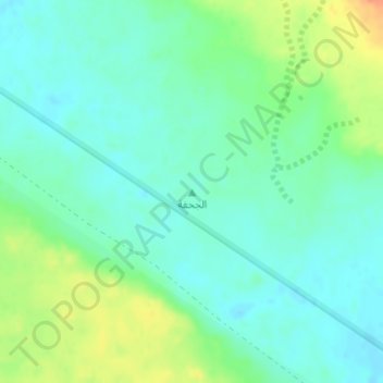
Name: Al Juhfah topographic map, elevation, terrain.
Location: Al Juhfah, Baqa, Ḥa'il Province, Saudi Arabia (28.21118 43.19521 28.21128 43.19531)
Average elevation: 674 m
Minimum elevation: 660 m
Maximum elevation: 703 m
Thank you for supporting this site ❤️
Make a donation
Make a donation
Other topographic maps
Click on a map to view its topography, its elevation and its terrain.