
Thank you for supporting this site ❤️
Make a donation
Make a donation
El Llano topographic map
Click on the map to display elevation.
Thank you for supporting this site ❤️
Make a donation
Make a donation
About this map
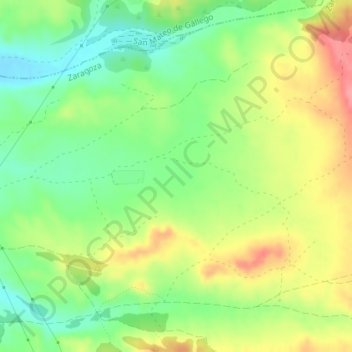
Name: El Llano topographic map, elevation, terrain.
Location: El Llano, Peñaflor, Distrito Rural, Zaragoza, Aragón, España (41.76775 -0.76094 41.78775 -0.74094)
Average elevation: 303 m
Minimum elevation: 264 m
Maximum elevation: 351 m
Thank you for supporting this site ❤️
Make a donation
Make a donation