
Thank you for supporting this site ❤️
Make a donation
Make a donation
Vineland topographic map
Click on the map to display elevation.
Thank you for supporting this site ❤️
Make a donation
Make a donation
About this map
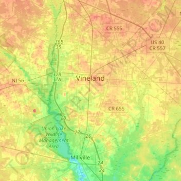
Name: Vineland topographic map, elevation, terrain.
Location: Vineland, Cumberland County, New Jersey, United States (39.37772 -75.08660 39.56860 -74.89663)
Average elevation: 25 m
Minimum elevation: -1 m
Maximum elevation: 47 m
Thank you for supporting this site ❤️
Make a donation
Make a donation
Other topographic maps
Click on a map to view its topography, its elevation and its terrain.